Þingeyjarsveit
Þingeyjarsveit, a sprawling municipality in northeast Iceland, is known for the volcanic landscapes around Lake Mývatn, quiet farming communities and a nature-driven way of life.
Passengers
Luggage
About Þingeyjarsveit
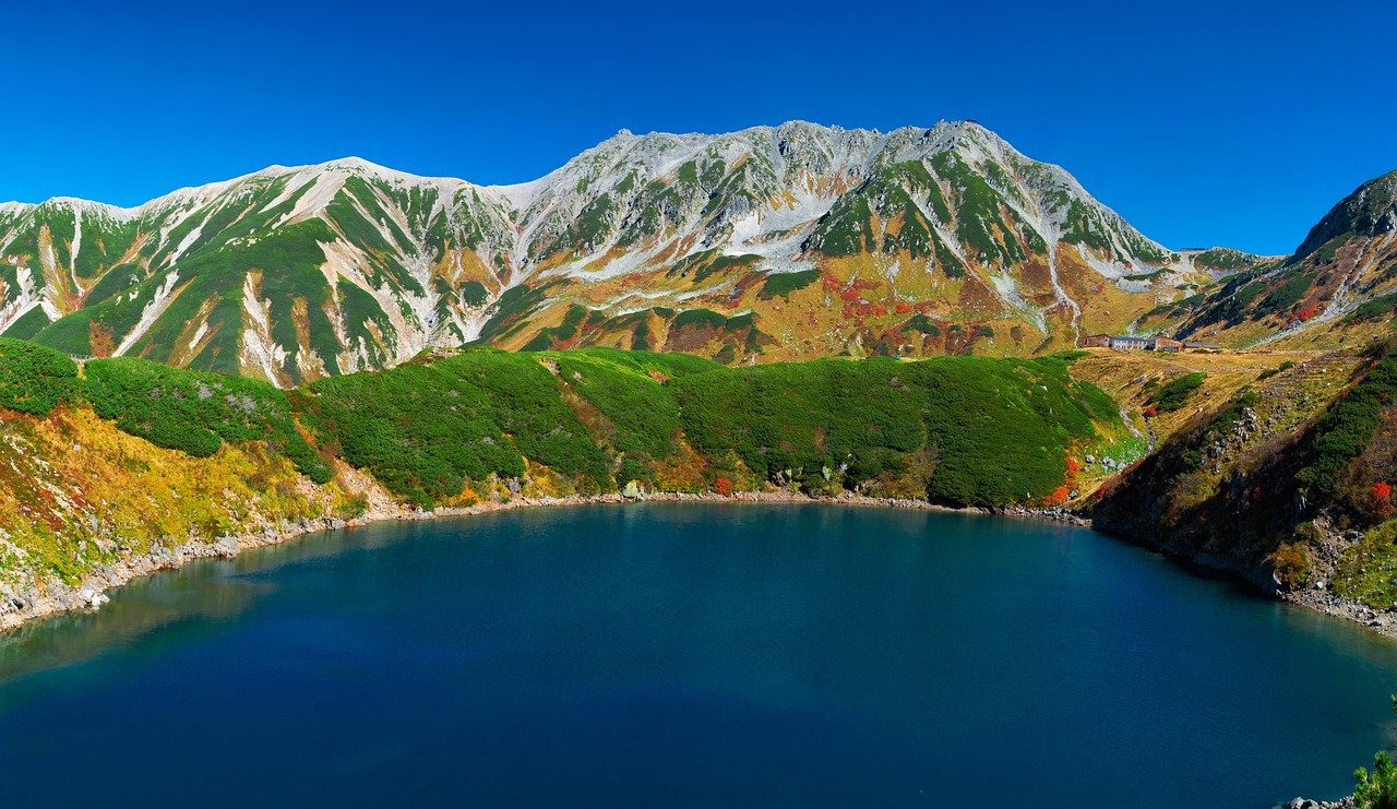
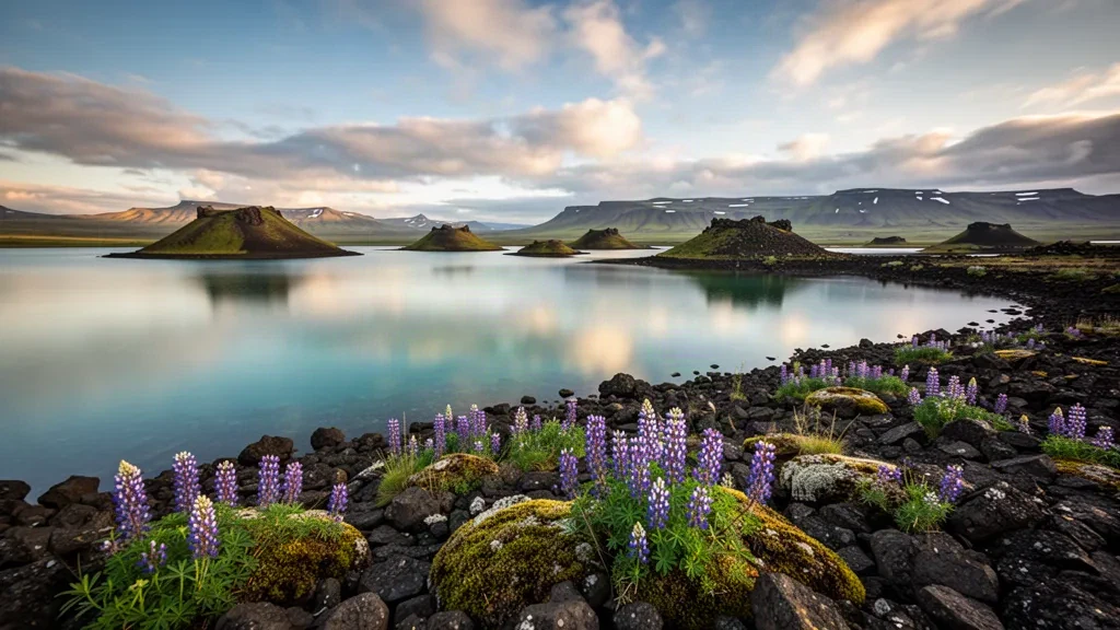
Þingeyjarsveit is a sprawling municipality in North Iceland that stretches from the Bárðardalur valley toward Lake Mývatn, with its administrative centre in the small village of Laugar. Its identity is shaped by volcanic geology, geothermal heat, waterfalls and the bird-rich waters of Mývatn, making it one of the country's most distinctive natural destinations.
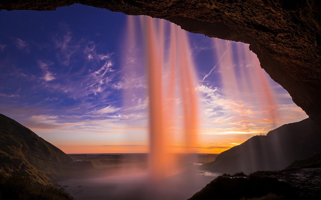
Historic landmarks include Goðafoss, the 'Waterfall of the Gods', where Iceland's conversion to Christianity is said to have been sealed around the year 1000, and the restored turf farm at Grenjaðarstaður. These sites connect the modern area to Iceland's Viking-age and early Christian heritage.
The municipality's best-known attractions cluster around Lake Mývatn and Reykjahlíð: the Dimmuborgir lava pillars, Hverfjall crater, Krafla geothermal area and the Mývatn Nature Baths draw visitors year-round. Laugar itself offers services, a swimming pool and a gateway position on the Ring Road.
Farming, geothermal energy and tourism underpin the local economy. The Krafla power station and surrounding industry sit alongside sheep and dairy farms, while the area forms part of the Diamond Circle route linking Mývatn, Goðafoss, Húsavík, Ásbyrgi and Dettifoss.
For travellers, Þingeyjarsveit works as a self-drive base for North Iceland's volcanic and geothermal highlights, with Akureyri and Húsavík within reach. Its mix of open landscapes, wildlife, hot springs and cultural sites serves both leisure visitors and business travel linked to the region's energy and agricultural sectors.
Þingeyjarsveit Travel Guide
Best Time to Visit
Summer (June to August) brings long daylight hours, active birdlife around Lake Mývatn and easier driving conditions, while winter offers northern lights but requires caution on rural roads. Early autumn can be quieter with striking colours.
How to Get Around
A rental car is the most practical way to explore Þingeyjarsveit's spread-out natural sites, with the Ring Road (Route 1) connecting Laugar, Goðafoss and the Mývatn area. Public buses serve main stops but are limited, and private transfers are useful for specific trips.
Where to Stay
Laugar is the municipality's main service hub with guesthouses and a campsite, while Reykjahlíð offers accommodation close to Lake Mývatn. Farm stays and countryside guesthouses provide quiet bases near the area's natural attractions.
Food & Drink
Local dining draws on North Iceland ingredients such as lamb, dairy, Arctic char and skyr. Around Mývatn, farm cafés and restaurants serve regional dishes, and geothermal-baked rye bread (hverabrauð) is a distinctive local speciality.
Ground Transportation Services in Þingeyjarsveit
Airport Transfers
Travel between Akureyri Airport and destinations across Þingeyjarsveit, including Laugar, Reykjahlíð and the Lake Mývatn area.
Hourly Chauffeur
Book a private chauffeur by the hour for flexible sightseeing around Goðafoss, Lake Mývatn, Dimmuborgir and other North Iceland highlights.
Car Rental
Rent a car in North Iceland for independent travel along the Ring Road and access to Þingeyjarsveit's dispersed natural attractions.
Bus & Group Transfers
Arrange minibuses or charter buses for group tours, events, airport transfers and journeys to Goðafoss, Mývatn and nearby destinations.
Frequently Asked Questions
Related Cities in Iceland
View all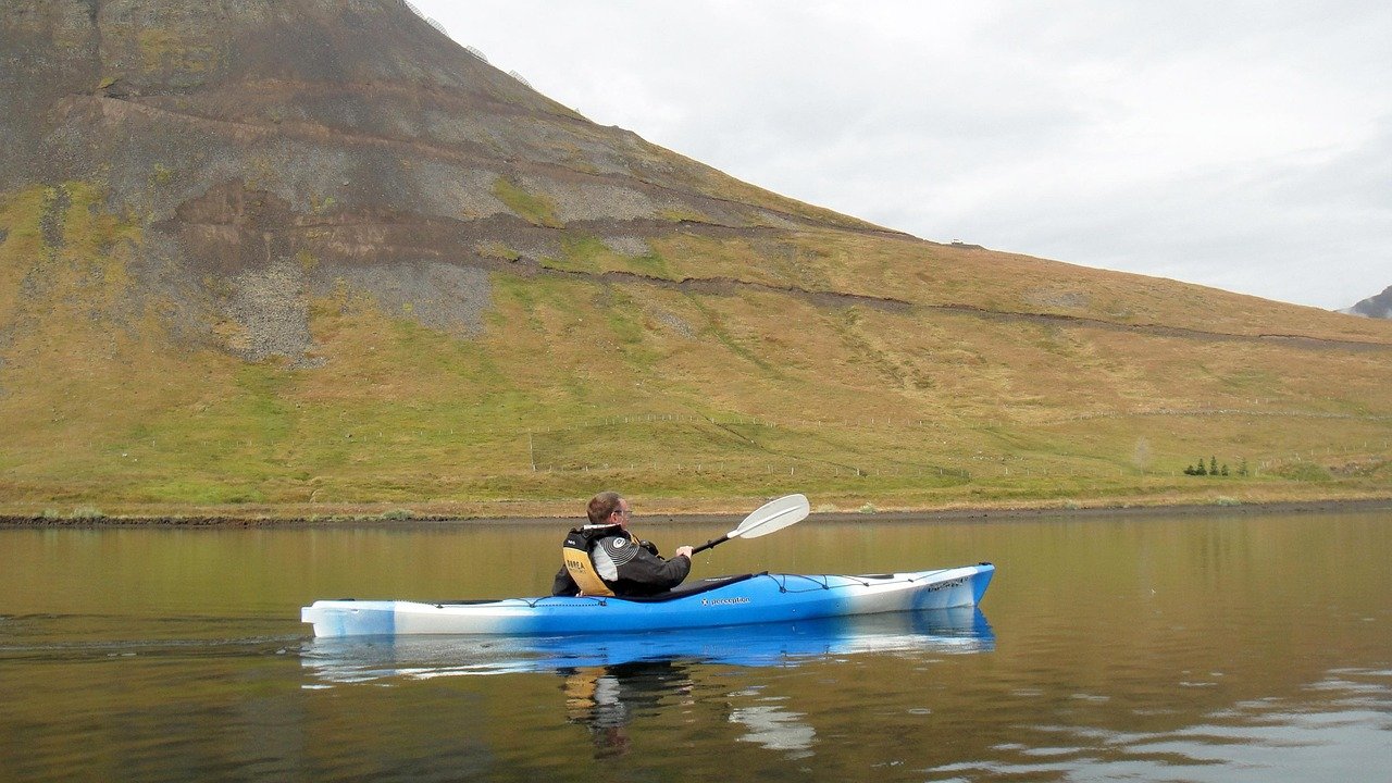
Ísafjörður
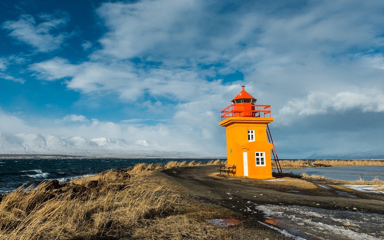
Ísafjörður, the largest town in Iceland's Westfjords, pairs a dramatic fjord setting with colorful timber houses, maritime history and a compact cultural scene.
West Iceland
West Iceland runs from the sheltered fjords of Borgarfjörður out to the Snæfellsnes Peninsula, where fishing villages, lava fields and the Snæfellsjökull glacier sit within easy reach of Reykjavík.
Vogar
Vogar is a small fishing town on Iceland's Reykjanes peninsula, set among lava fields and low hills within easy reach of the Blue Lagoon and the rugged south coast.
Airports in Iceland
View all airports in the country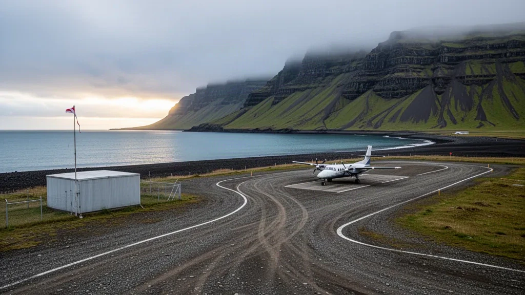
Breiðdalsvík Airport (BXV)
Breiðdalsvík Airport is a small airfield serving the village of Breiðdalsvík and the Eastfjords region of East Iceland. From here, travelers can continue to Breiðdalsvík, nearby coastal villages and the regional hub of Egilsstaðir by car or pre-arranged transfer.
Blönduós Airport (BLO)
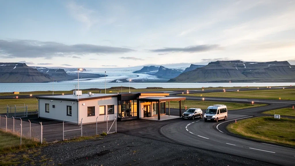
Blönduós Airport is a small general aviation airfield serving Blönduós in Northwest Iceland, with no scheduled passenger flights and occasional air ambulance use. The town sits along the Ring Road, providing road access toward the Vatnsnes Peninsula, Skagaströnd and Akureyri.
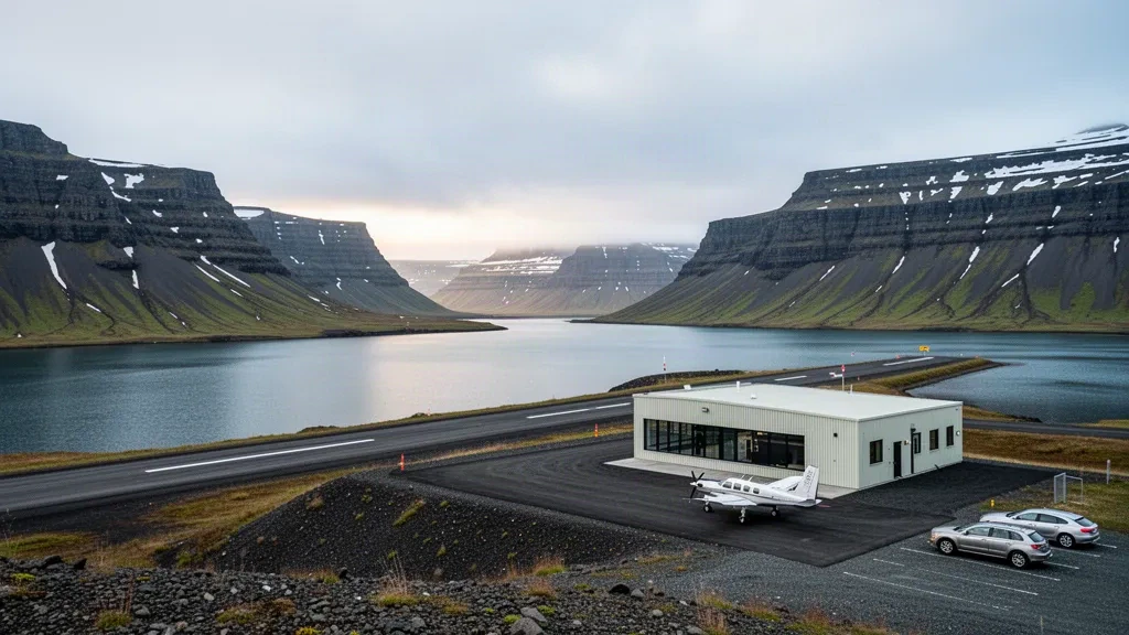
Bíldudalur Airport (BIU)
Bíldudalur Airport (BIU) is a small regional gateway to the village of Bíldudalur and the southern Westfjords of Iceland. Compare transfer options to Bíldudalur, Patreksfjörður, Tálknafjörður and other nearby destinations, and plan your onward journey with ease.
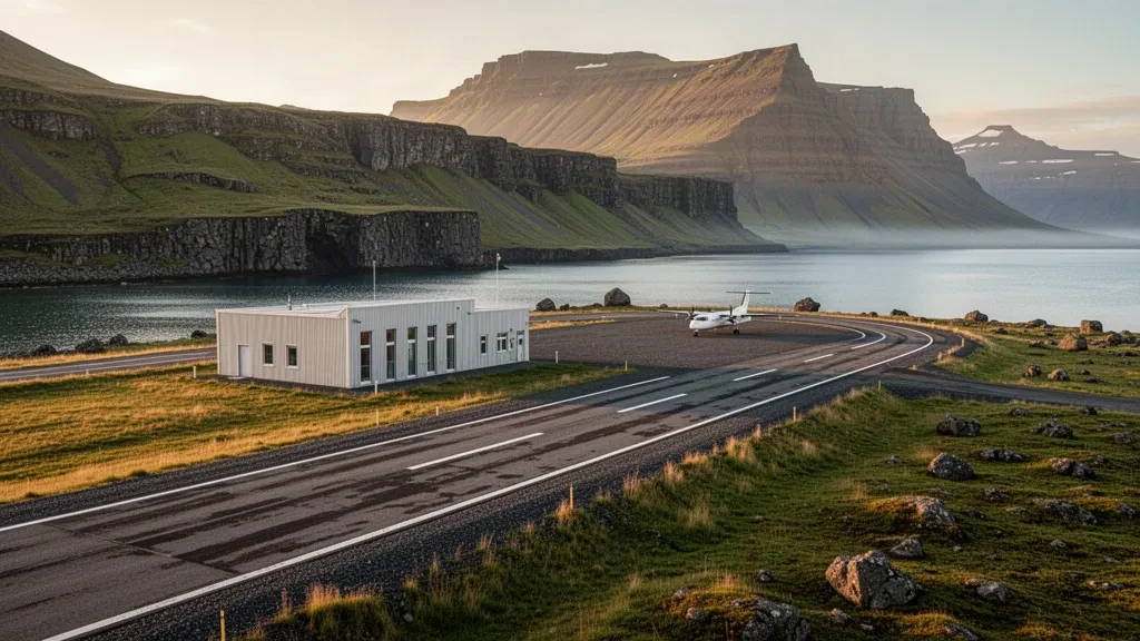
Borgarfjörður eystri Airport (BGJ)
Borgarfjörður eystri Airport is a small domestic gateway serving Borgarfjörður eystri and Iceland's Eastfjords. Compare transfer options from the airport to Bakkagerði, Egilsstaðir and nearby coastal and hiking destinations.