Panamá Oeste
Panamá Oeste, west of Panama City, pairs Pacific beaches and green highlands with a fast-growing suburban landscape.
Passengers
Luggage
About Panamá Oeste
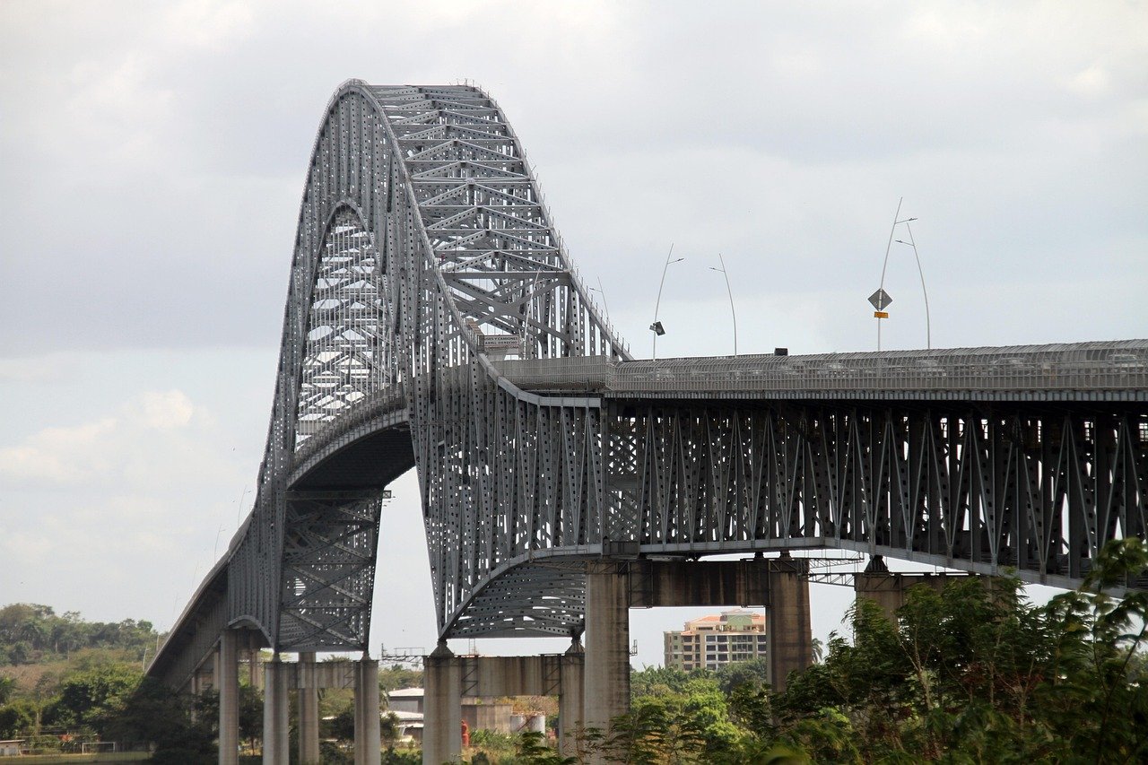
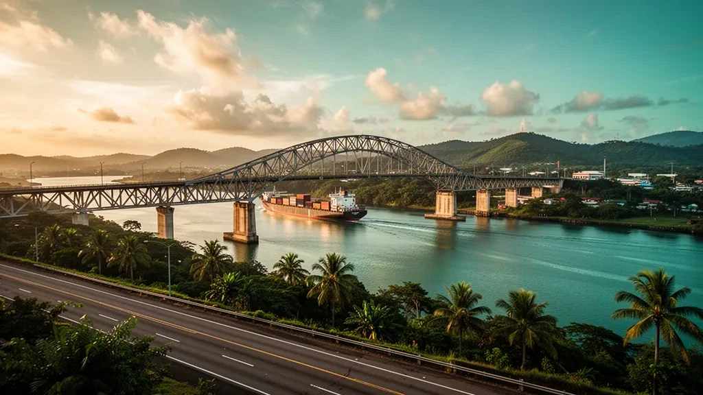
Panamá Oeste is a province on Panama's Pacific slope, immediately west of Panama City. Created in 2014 from districts that previously belonged to Panamá Province, it runs from the western side of the Panama Canal to a chain of Pacific beach towns and the hills of the interior.
Its geography mixes coastal plains, farmland and protected highlands. Altos de Campana National Park and Cerro Campana anchor the greener inland area, while the Pan-American Highway cuts through Arraiján and La Chorrera and connects the capital with the coast and the rest of the country.
Pacific destinations such as Punta Chame, Coronado, Gorgona and San Carlos are known for beaches, water sports and weekend homes. Inland, La Chorrera serves as the provincial capital and commercial centre, with markets, local restaurants and access to waterfalls and natural sites, while Veracruz and Panamá Pacífico form a redeveloped business and residential hub.
The province is part of the wider Panama City metropolitan area, making it both a commuter belt and a practical gateway to the Pacific Riviera. Its mix of urban services, logistics development and coastal tourism reflects Panama's rapid growth west of the canal.
For travellers, Panamá Oeste offers a quieter and often more affordable base close to the capital, with beaches, nature reserves and a growing food and accommodation scene, while staying connected to Tocumen International Airport and Panama City's business districts.
Panamá Oeste Travel Guide
Best Time to Visit
The dry season from mid-December to April is the most reliable period for beaches and outdoor activities, with sunny days and lower rainfall. The rainy season from May to November brings greener landscapes, fewer crowds and afternoon showers, especially along the coast.
How to Get Around
The Pan-American Highway is the main corridor through Arraiján, La Chorrera and the beach towns, and local buses serve most districts. Taxis and ride-hailing are common around La Chorrera and Arraiján, while a rental car is useful for reaching Pacific beaches and inland areas.
Where to Stay
Arraiján and La Chorrera offer practical bases near Panama City and the Pan-American Highway, while beach communities such as Coronado, Gorgona and Punta Chame have resorts, condos and guesthouses. San Carlos and Chame are convenient for a quieter coastal stay with easy access to nature.
Food & Drink
The province mixes Panamanian staples such as sancocho, ceviche and fried fish with beachfront seafood restaurants and casual fondas. Fresh fish, patacones and tropical fruit are common, and beach towns offer everything from local eateries to international-style dining.
Ground Transportation Services in Panamá Oeste
Airport Transfers
Arrange transfers between Tocumen International Airport and destinations in Arraiján, La Chorrera, Coronado, Punta Chame and other parts of Panamá Oeste.
Hourly Chauffeur
Book a private chauffeur by the hour for business meetings, beach visits, sightseeing and flexible travel across Panamá Oeste and the greater Panama City area.
Car Rental
Rent a car to explore Panamá Oeste independently, from La Chorrera and Arraiján to Pacific beach towns and nearby national park areas.
Bus & Group Transfers
Organize minibuses or charter buses for group travel, corporate events, airport transfers and tours across Panamá Oeste and the surrounding region.
Frequently Asked Questions
Related Cities in Panama
View all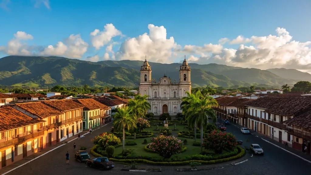
Santiago de Veraguas
Santiago de Veraguas, the capital of Panama's Veraguas Province, pairs colonial history with a bustling commercial center and easy access to beaches, mountains and the Pacific coast.
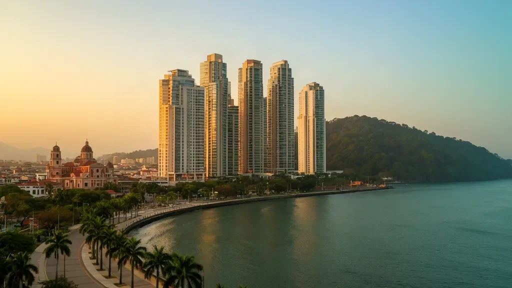
Panama City
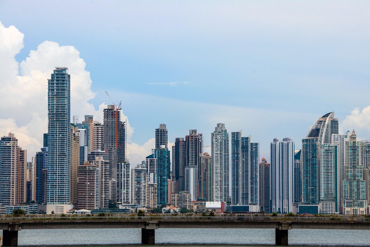
Panama City, Panama's cosmopolitan capital, pairs a historic old town with a modern skyline, diverse neighbourhoods and easy access to the Panama Canal.
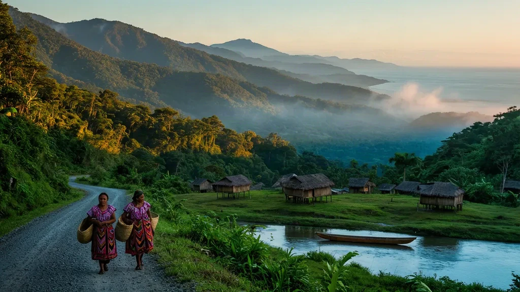
Ngöbe-Buglé Comarca
Ngöbe-Buglé Comarca is an indigenous territory in western Panama, where long-standing Ngöbe and Buglé traditions meet rugged highlands, remote villages and a distinctive cultural landscape.